熊野神社
Kumano Shrine熊野神社
About神社について
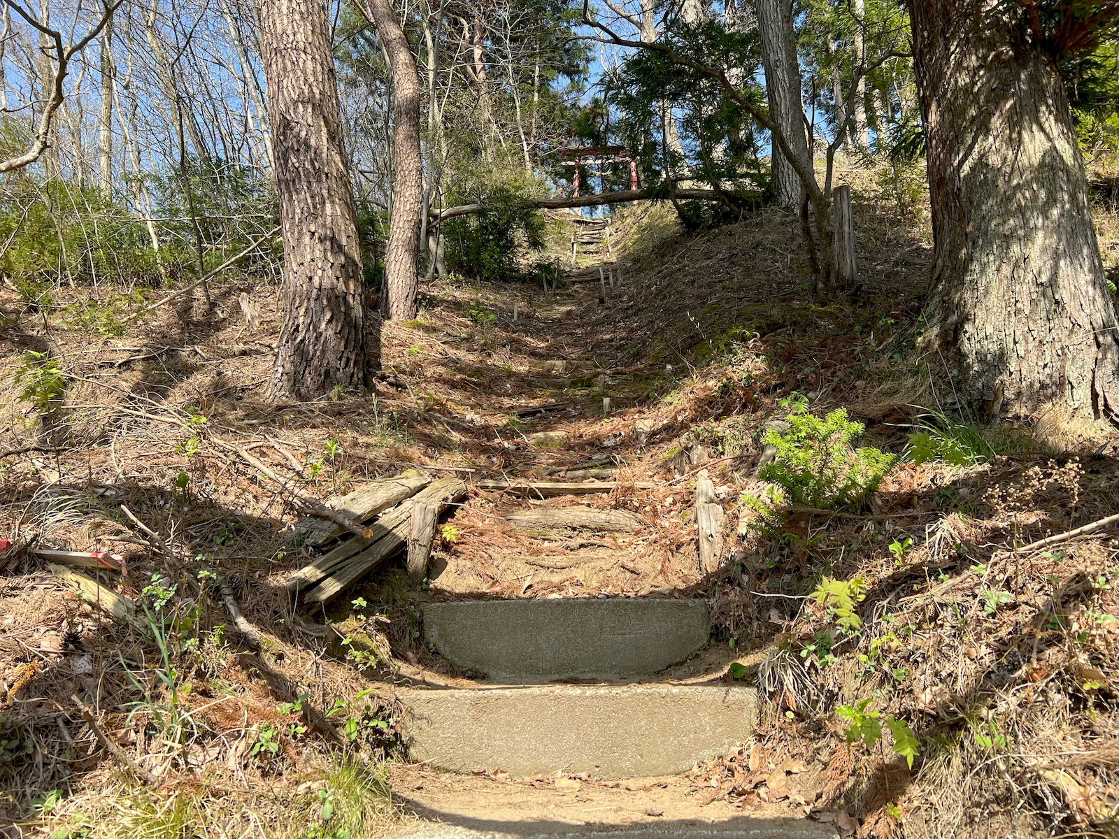
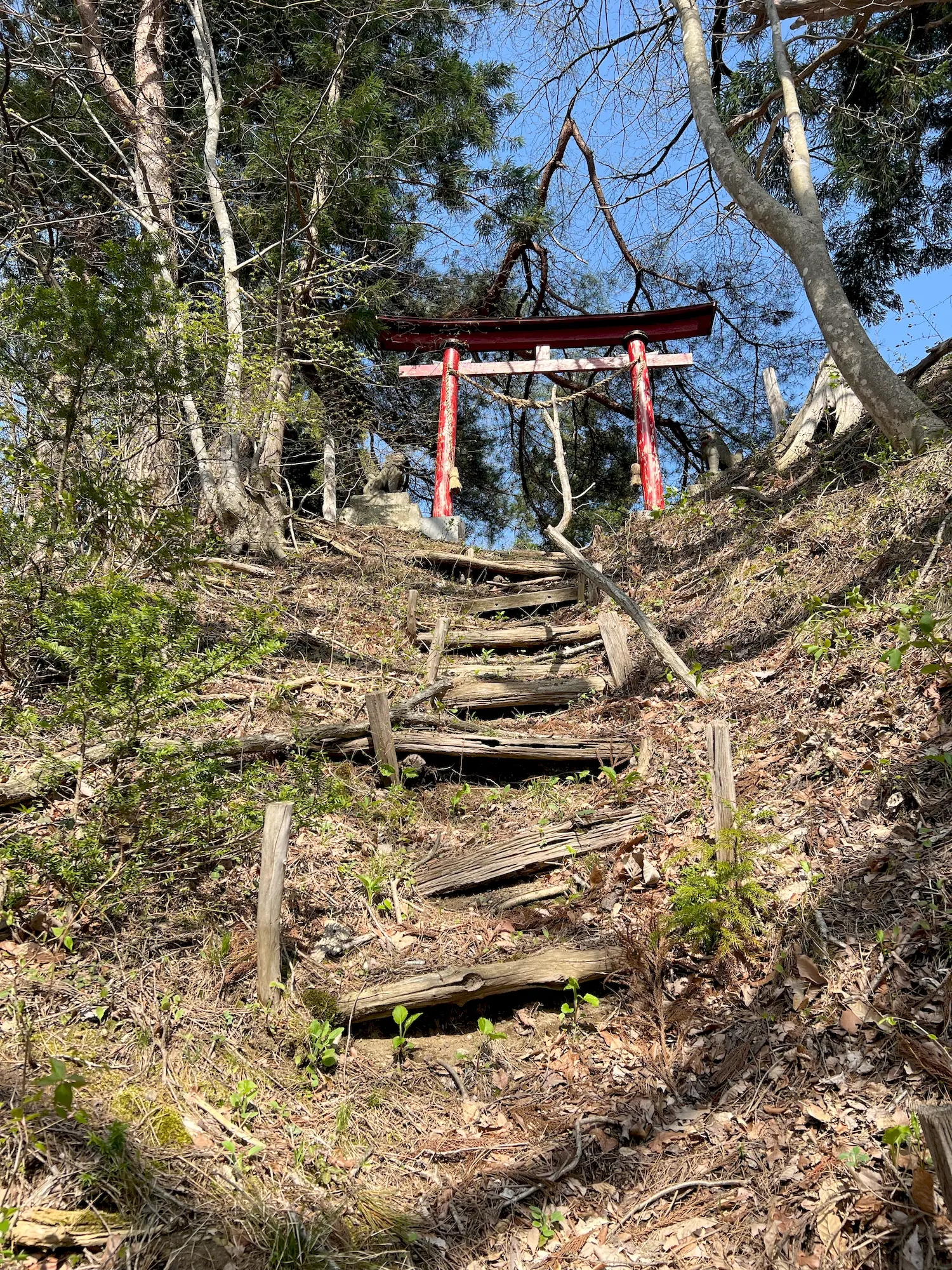
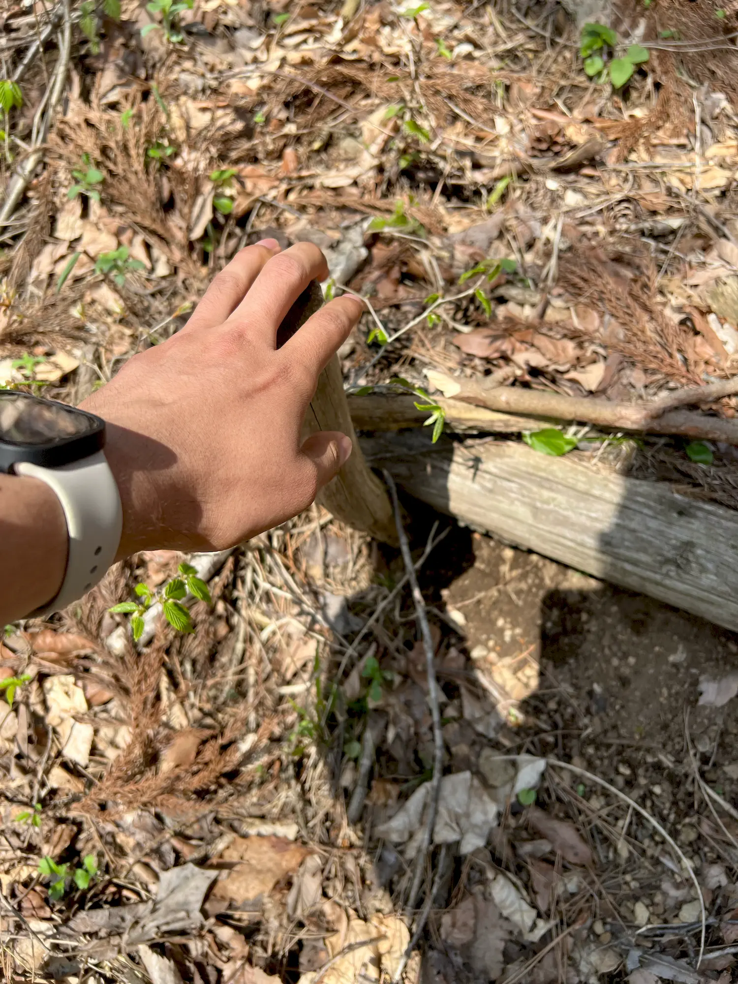
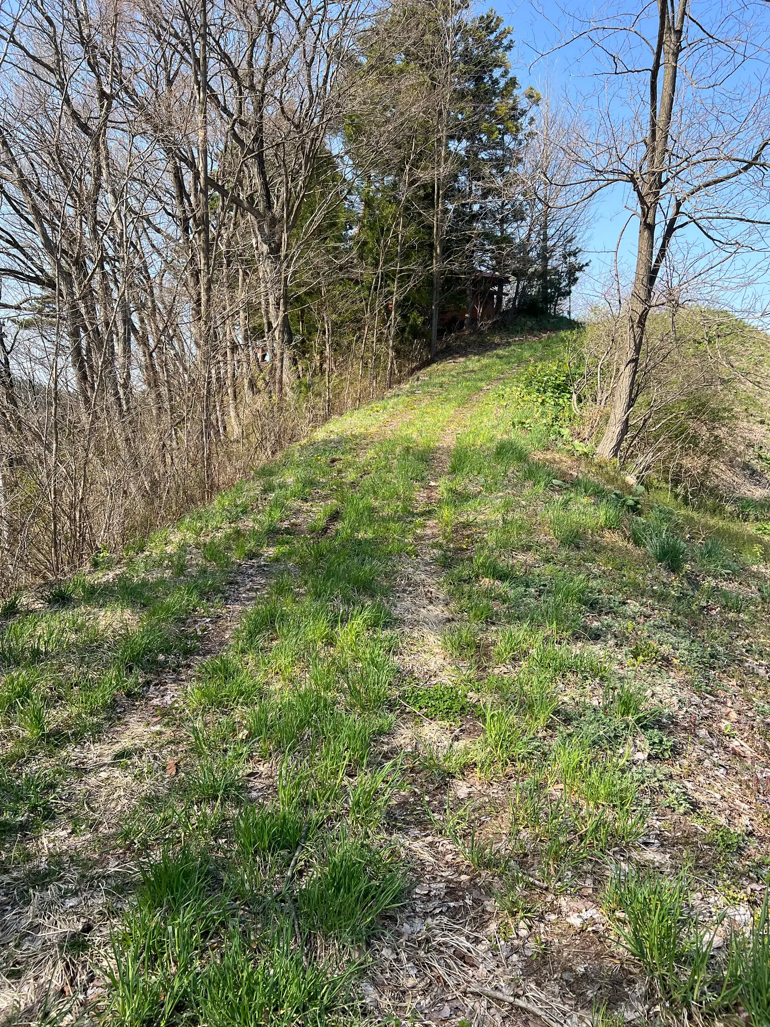
The stairs here are worn, and climbing them is difficult and probably dangerous. Someone has put poles in beside them to make it easier. Once I got to the top I found out you can just stroll up from the back. I recommend going that way.石段は傷んでいて、登るのは大変ですし、たぶん危ないです。誰かが登りやすいように棒を立ててくれていました。登りきってから気づいたのですが、裏からなら楽に歩いて上がれます。そちらから行くのがおすすめです。
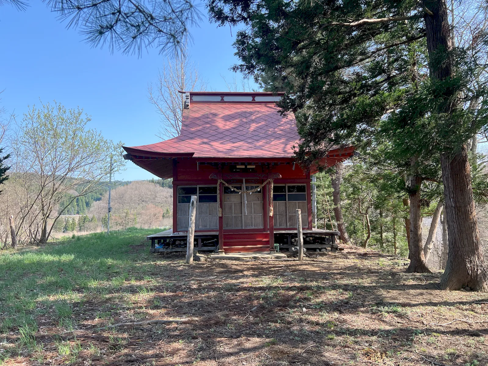
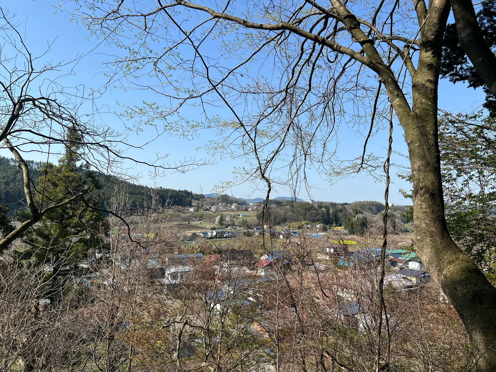
A shrine on a wooded hill in Takko Machi. A red torii stands at the roadside with a shimenawa rope strung between its pillars, and the stone steps behind it give way to log steps that climb through the pines to a second, smaller torii at the top. The main building has a red roof and its own shimenawa across the front, and sits on open grass with the valley below.田子町の林に囲まれた丘の上にある神社です。道路沿いに注連縄を張った赤い鳥居が立ち、その奥の石段はやがて丸太の階段に変わり、松林の中を登った先に小さな二の鳥居があります。社殿は赤い屋根で、正面にも注連縄が張られ、谷を見下ろす草地に建っています。
On the shrine building the name is written 社神野熊, right to left in the old style, which reads as 熊野神社.社殿には「社神野熊」と右から左に書かれています。昔の横書きの書き方で、「熊野神社」と読みます。
Location場所
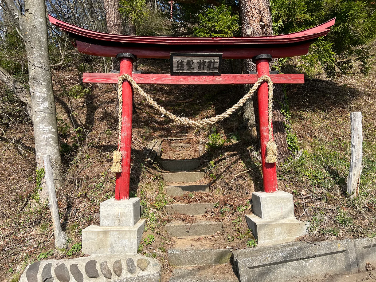
View from the road道路からの眺め
Address住所
Takko, Sannohe District, Aomori, Japan (40.3183, 141.1442)青森県三戸郡田子町(40.3183, 141.1442)
Access Notesアクセスメモ
Not on Google Maps. Look for the red torii and the stone steps at the roadside.Googleマップには載っていません。道路沿いの赤い鳥居と石段が目印です。